Çatalhöyük: a town without streets
At Çatalhöyük, houses stood so close that residents entered through roofs. Two mounds and many layers show how the settlement changed.
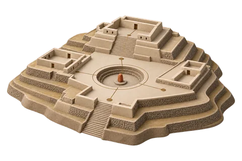
Two mounds, one settlement
UNESCO lists the Neolithic Site of Çatalhöyük as two tells rising up to 20 meters above the Konya plain. Excavations of the Eastern mound revealed 18 levels of Neolithic occupation dated to about 7400 to 6200 BCE; the Western mound is mainly Chalcolithic, about 6200 to 5200 BCE. UNESCO ↗
A settlement without streets
UNESCO's description singles out the house clusters as an outstanding settlement type: streetless neighbourhoods of densely packed dwellings entered from the roof. The property is cited as testimony to a moment when the first agrarian settlements of central Anatolia grew over centuries from villages toward larger centres. UNESCO ↗
Which mound and which layer?
Two mounds, two periods, one name. When a site has multiple occupation phases, attach each claim to its mound and level. A wall painting from one level says nothing certain about a house from another.
Town or large village?
What would make a dense settlement a 'town' rather than a large village? Decide which criteria you would need and whether the excavated evidence can supply them.